Bellingcat OSINT Challenge Walkthrough: Touching Tarmac
Bu çözümün Türkçesi de var: sağ üstten dili TR yapın.
📝Bellingcat OSINT Challenge Walkthrough: Touching Tarmac (Above and Beyond Series)
Introduction
In this writeup, I break down the solution for Challenge #86, “Touching Tarmac,” from Bellingcat’s Above and Beyond series (created by Logan).
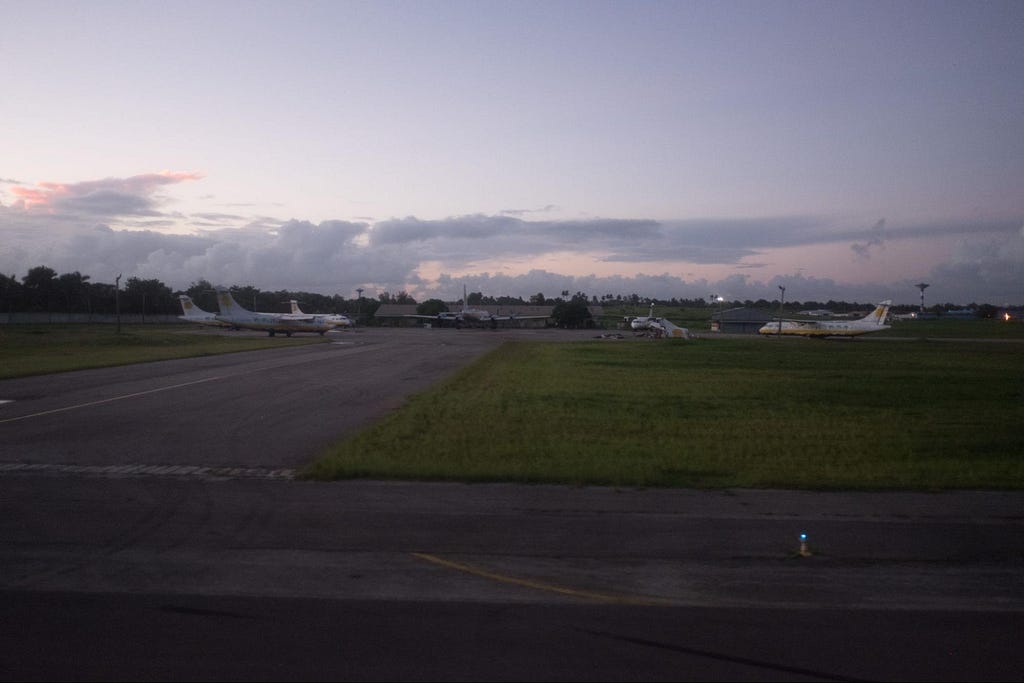
- Question: “While taxiing I took this photo of several aircraft, one looking particularly worse for wear! What is the ICAO code of this airport?”
Step 1: Visual Inspection & Anomaly Detection
The primary challenge image shows a view from an aircraft window while taxiing on an airport tarmac.
Looking closely at the background:
- Several parked regional turboprop aircraft are visible on the apron.
- The aircraft feature a distinct livery: a white fuselage with yellow/green palm tree motifs and yellow tail accents.
- The surrounding environment (lush tropical greenery and weather conditions) hinted at a Caribbean or Central American region.
Step 2: Reverse Image Search & Livery Identification
I cropped in on the parked aircraft with the yellow and green livery and conducted a Reverse Image Search (Google Lens).
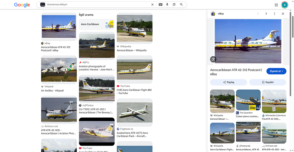
The search immediately matched the distinct livery and airframe to Aero Caribbean (specifically their ATR 42 / ATR 72 fleet).
Step 3: Open-Source Research & Hub Discovery
With the airline identified as Aero Caribbean (Empresa Aerocaribbean SA), I conducted open-source research via Wikipedia to determine their main hub of operations.
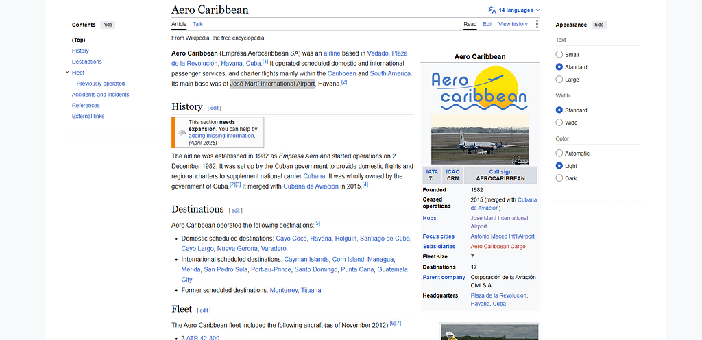
- Airline Profile: Aero Caribbean was a Cuban airline based in Havana operating domestic and regional charter flights before merging into Cubana de Aviación in 2015.
- Main Operational Hub: The airline’s primary hub and base was José Martí International Airport in Havana, Cuba.
Step 4: Finding the ICAO Code
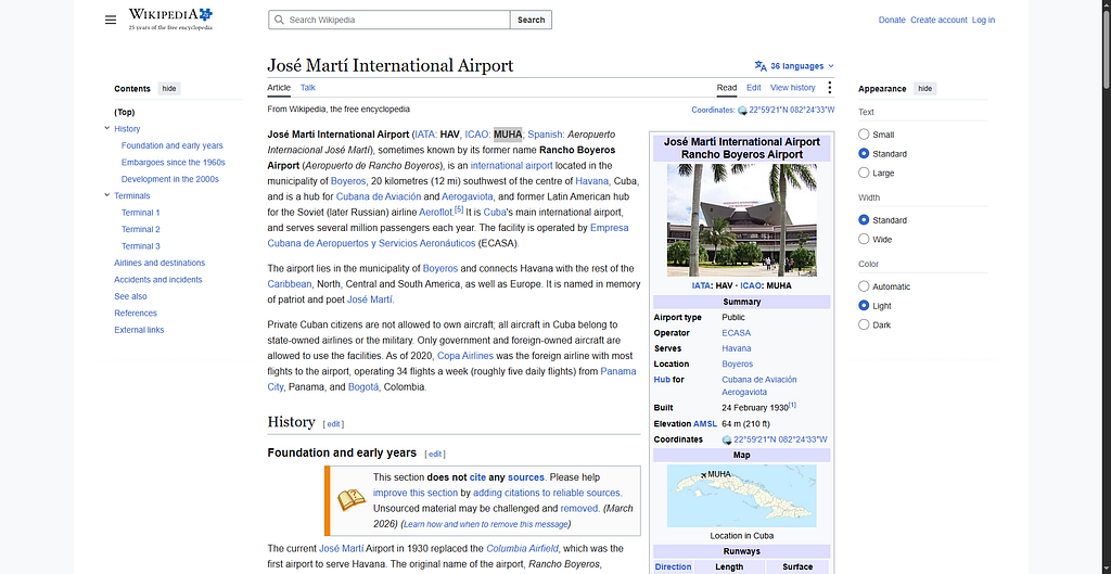
Since the challenge specifically requested the ICAO code of the airport, I navigated to the page for José Martí International Airport.
Key Takeaways
- Crop & Focus: Isolating distinct features (such as aircraft livery or tail logos) before running a reverse image search significantly improves accuracy.
- Aviation OSINT: Connecting airframe liveries to fleet history and main hubs remains one of the fastest pivoting techniques in airport geolocation challenges.
Originally published on Medium