CRIMINAL PARTNERS (OSINT Industries CTF)
Bu çözümün Türkçesi de var: sağ üstten dili TR yapın.
In this challenge from the OSINT Industries CTF, we investigate a scenario involving high-profile Swedish fugitives Tania Gomez and Armin Moini. The objective is to locate a historical photograph of the couple from September 8, 2014, trace the exact venue using open-source intelligence, and submit the restaurant name.
- Challenge: Criminal Partners (OSINT Industries)
- Category: Passive OSINT / SOCMINT / IMINT & GEOINT
- Difficulty / Points: Medium / 30 pts
- Objective: Find the 2014 date photograph and identify the restaurant.
- Flag Format: OSINT{Restaurant_Name}
Step 1: Open-Source Intelligence & Public Records Search
The investigation began by gathering background intelligence on the targets:
- Tania Gomez: Linked to European drug trafficking and money laundering investigations.
- Armin Moini: High-ranking organized crime figure on Sweden’s and EU’s Most Wanted lists.
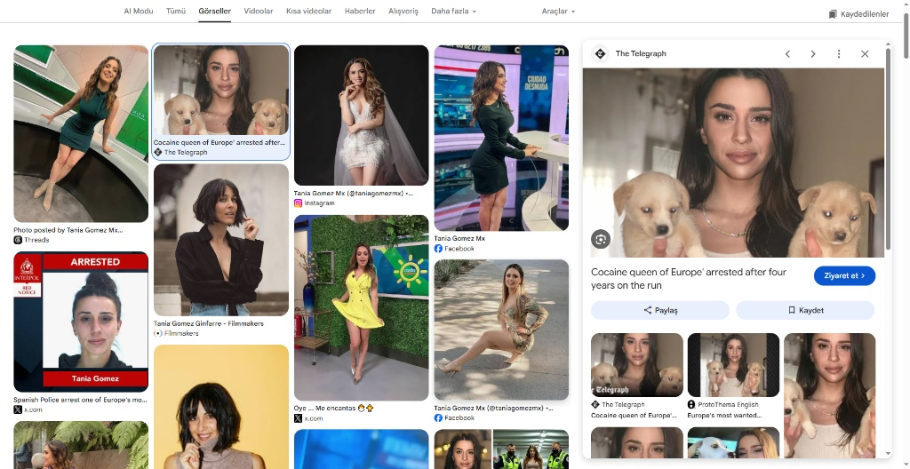
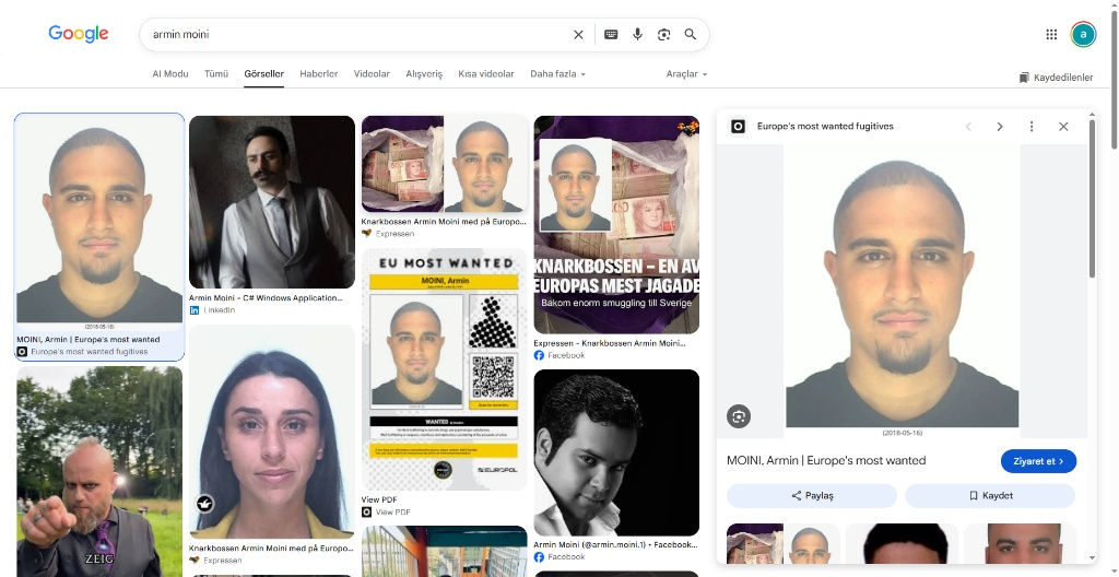
Initial queries across media outlets (Expressen), OpenSanctions, and EU Most Wanted archives confirmed extensive criminal proceedings in Sweden.
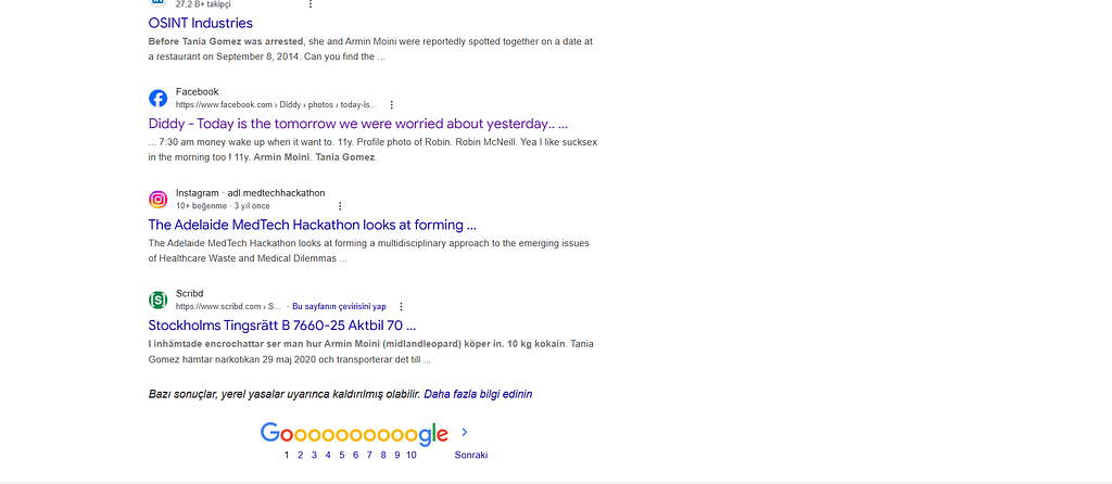
A search query involving target names and legal terms uncovered a crucial document: a publicly available, 703-page Swedish preliminary investigation protocol (Stockholms Tingsrätt FUP) hosted on Scribd.https://www.scribd.com/document/948989505/Stockholms-tingsratt-B-7660-25-Aktbil-74-Forundersokningsprotokoll#content=query:taniagomezz,pageNum:142,indexOnPage:0,bestMatch:false
Step 2: Extracting SOCMINT Identifiers & Photo Discovery
Analyzing the technical evidence section of the 703-page court file revealed listed aliases, communication records, and social media handles
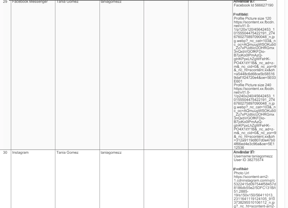
Using the extracted Facebook ID and username (taniagomezz), we accessed the target profile.
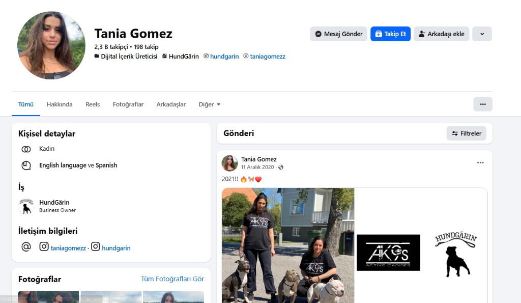
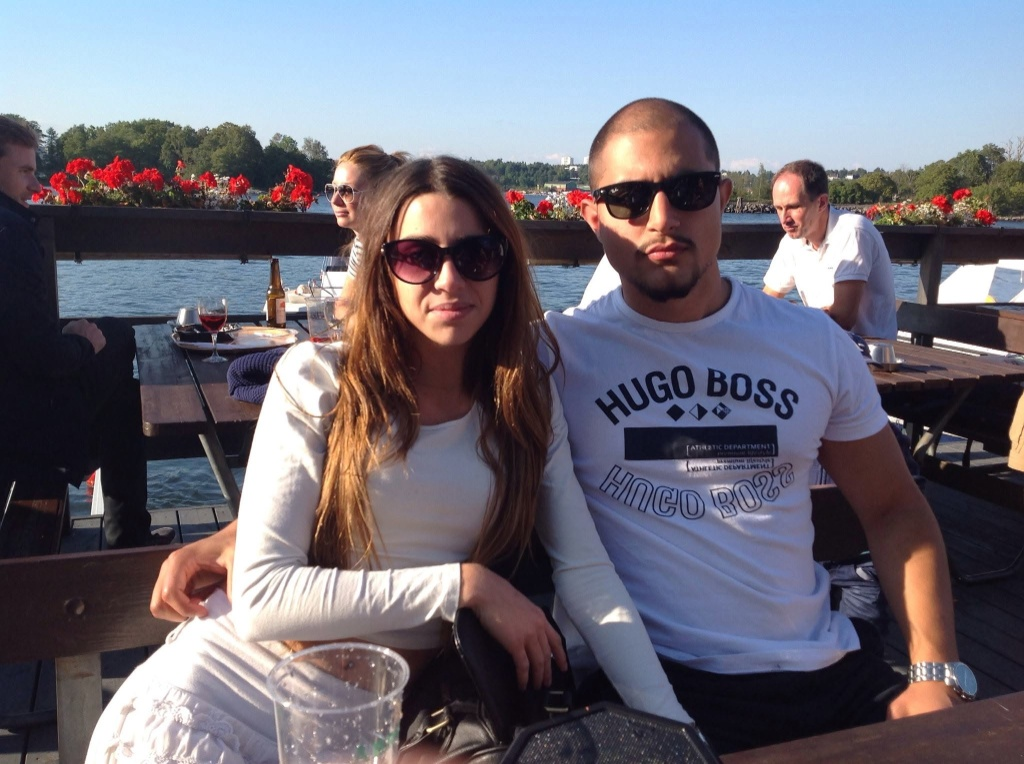
Applying a chronological filter to the profile’s media albums for September 8, 2014, successfully uncovered the original target image showing Tania Gomez and Armin Moini seated at an outdoor waterfront dock.
Step 3: IMINT & Geolocation Analysis (GEOINT)
Running a Reverse Image Search on the photograph did not produce an instant match due to the private nature of the personal photo. Consequently, we switched to environmental, architectural, and visual indicator analysis:
- Vegetation & Climate: Scandinavian pine and birch trees along the water basin.
- Consumables: 33 cl brown glass beer bottles and clear plastic cups, consistent with a Swedish summer dockside bar (brygga).
- Key Horizon Anchors: Across the waterway, two distinctive landmarks stood out:
- A shoreline shipyard/dockyard infrastructure with industrial lines.
- Distinctive twin white residential high-rise buildings breaking the distant treeline.
These spatial markers indicated the view looked outward from the Stockholm archipelago toward the mainland shoreline (the Lidingö/Nacka coastal axis).Tracing the angle from the inner islands pointed directly to Fjäderholmarna.
Step 4: Verification & Historical Confirmation
Navigating around Fjäderholmarna on Google Maps 360° Street View, the exact wooden dock setup, building profile, and background skyline alignment were located.
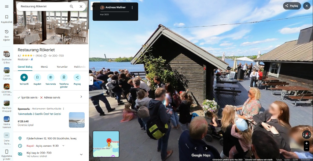
To account for potential rebranding since 2014, historical business records and archive checks were conducted. The venue operated continuously as Restaurang Rökeriet throughout this timeframe without a name change.
Originally published on Medium